Hiking along the glacial till in the large bowl of the Athabasca glacier leaves one filled with awe. This short route takes you to a nice viewpoint in the location of the glacier in 1996 before turning back around or advancing on another trail. I combined this trail with a small section of the Boundary trail that took me to that super sketchy crevasse. Also pictured with the other trail photos is a collection of the markers for where the glacier was located in 1996, 1948, and 1844.
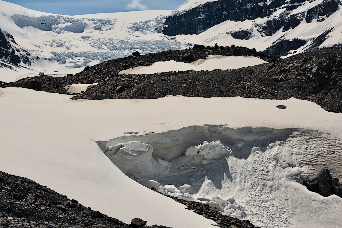
Crumbling snowpack spans the outflow of the Athabasca Glacier, which may be seen in the background. Small from distance, the vehicles that drive up to the glacier may also be seen along with their tracks.
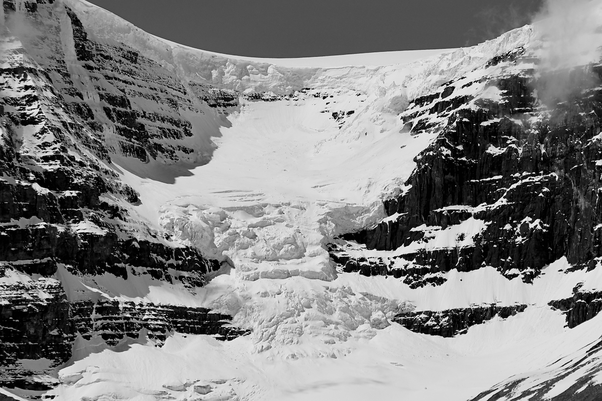
Black and white picture of Athabasca glacier.
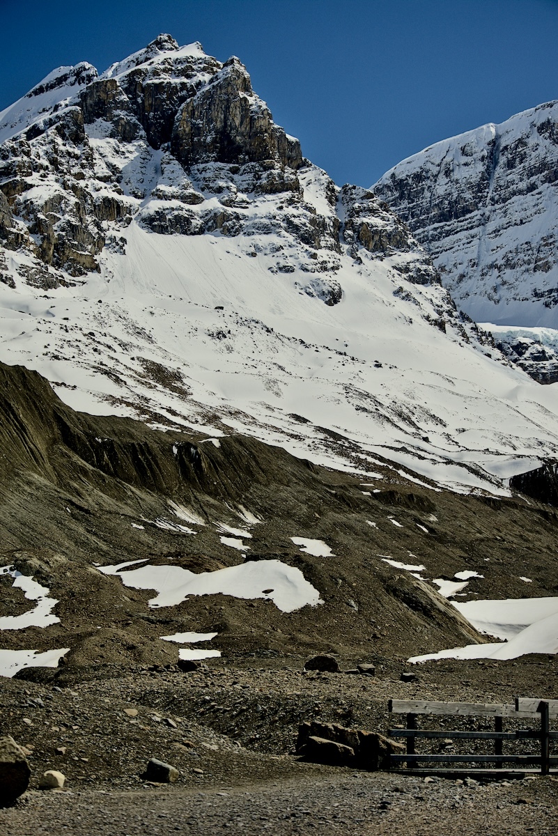
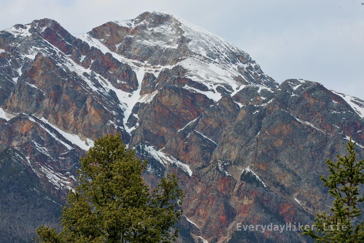
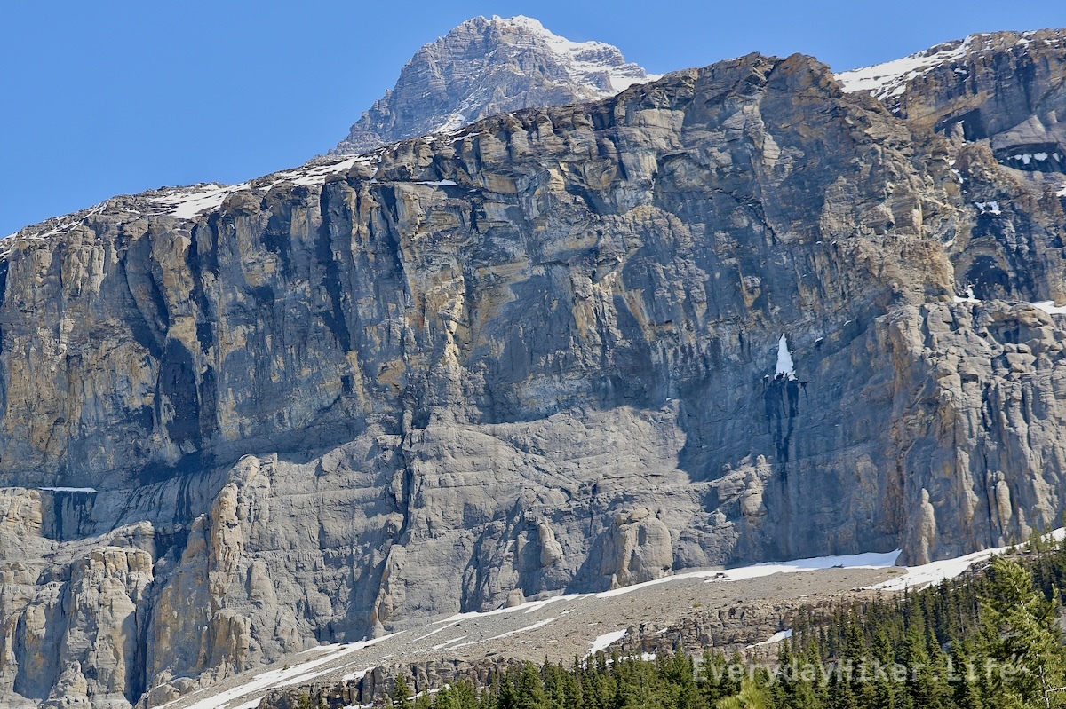
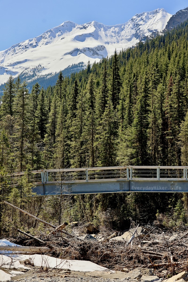
Gaze up at Mt Athabasca before crossing the bridge early on the trail.
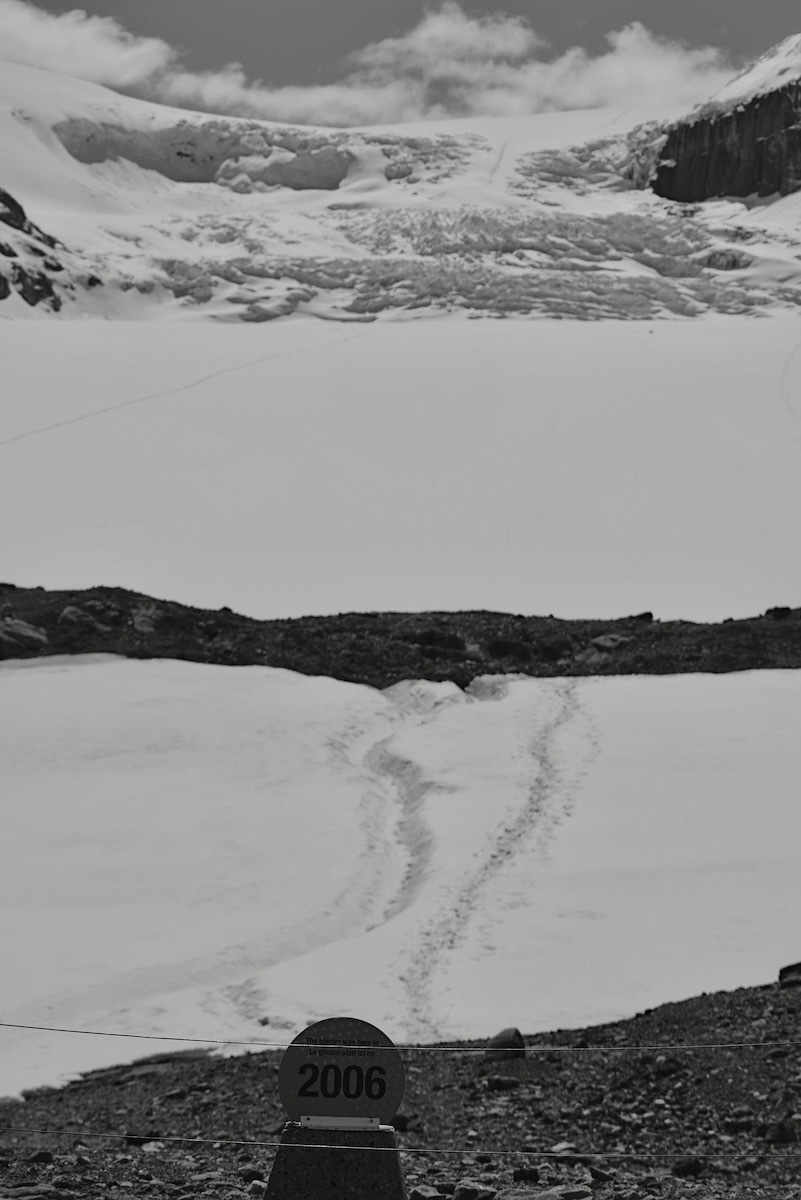
Marker displaying the location of the Athabasca Glacier in 2006, with the glacier seen over a mile behind it. Black and white.
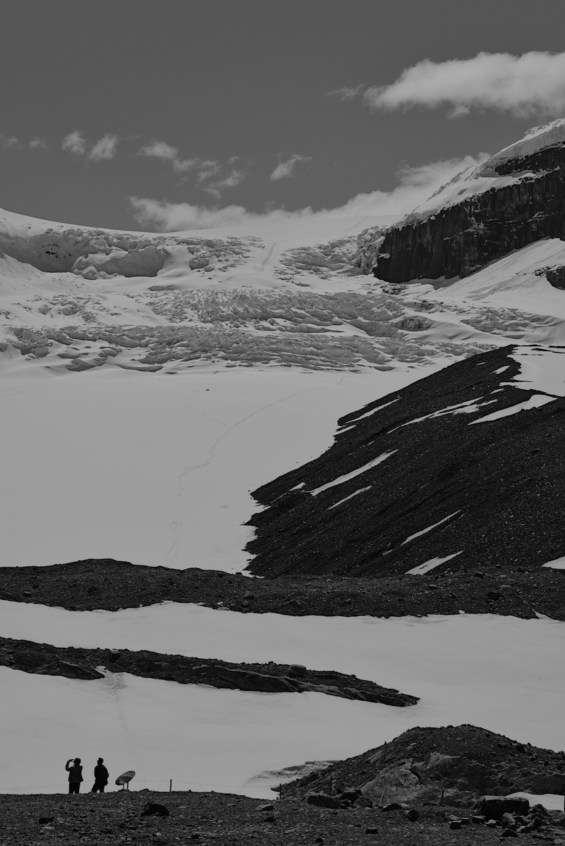
Another example of the retreat of the Athabasca glacier. The people are at the location of the 2006 marker.
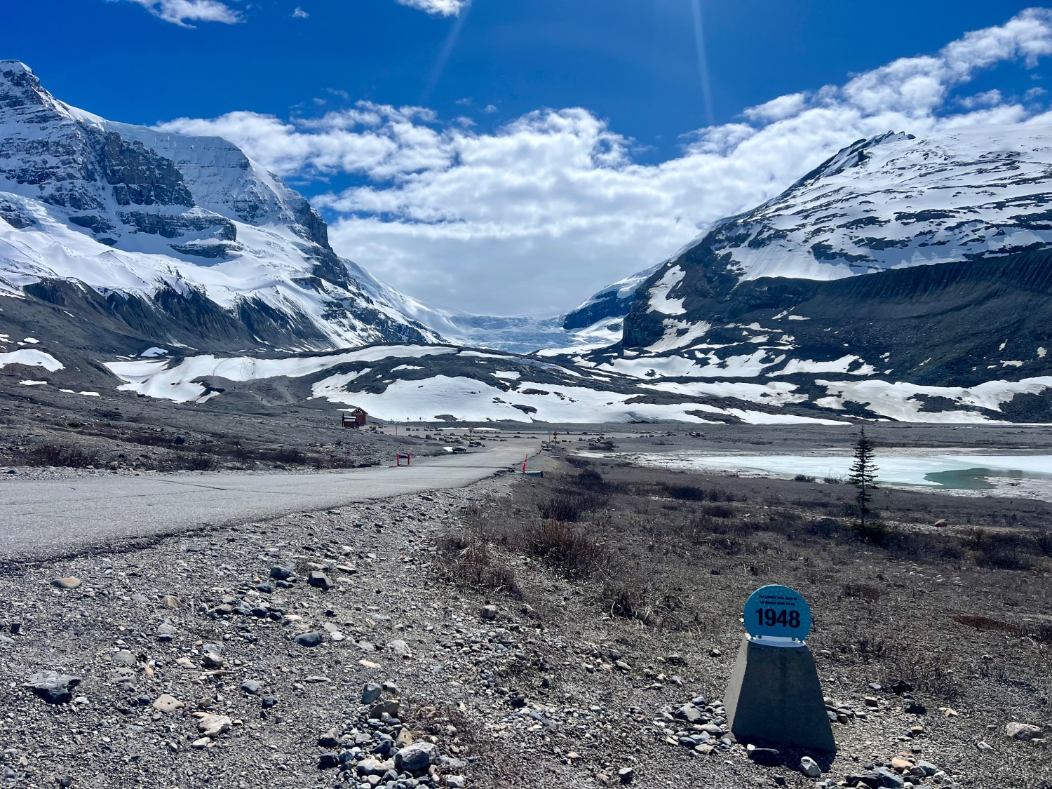
The Athabasca Glacier is well over two miles away from this marker designating its position back in 1948.
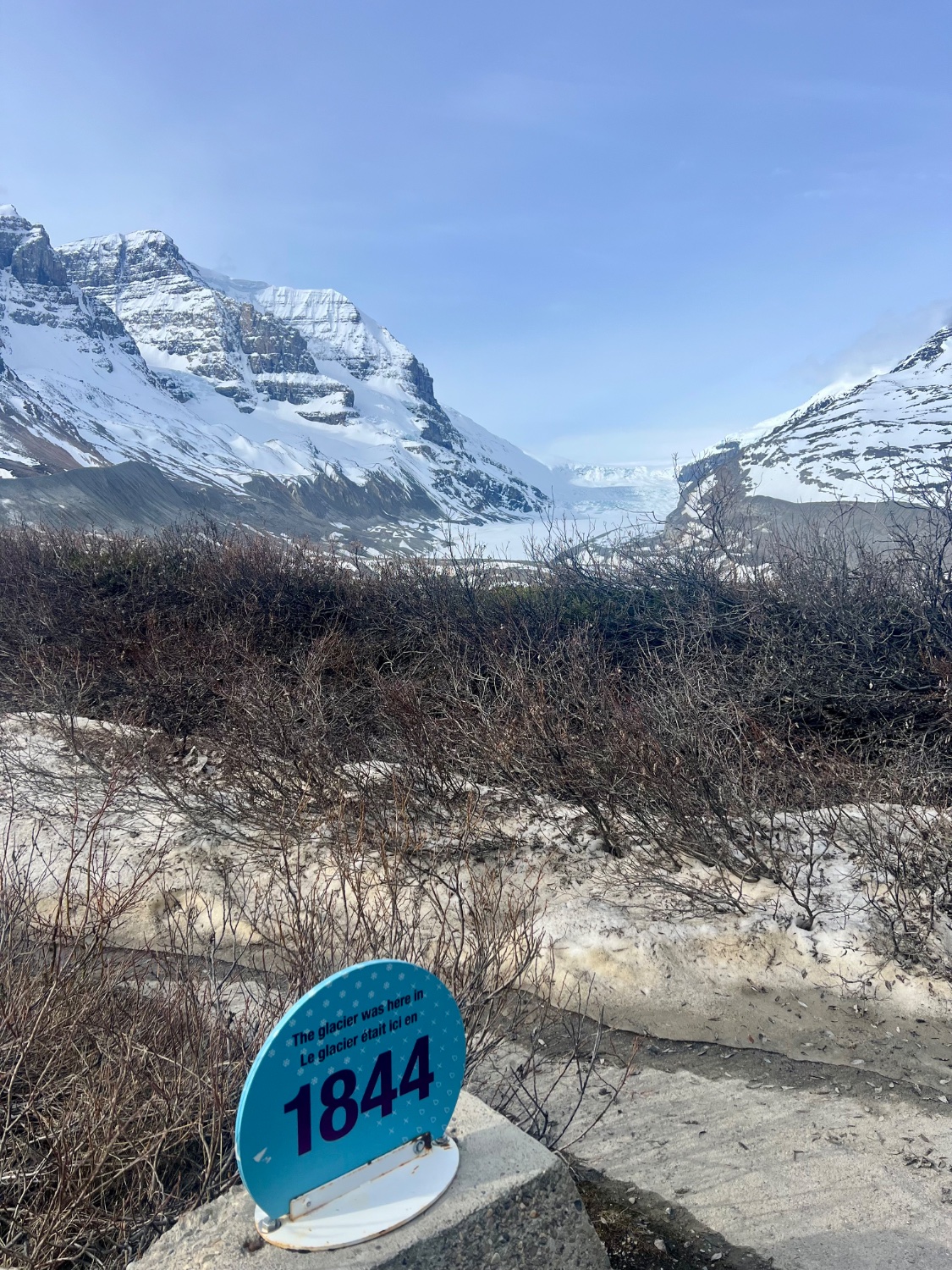
The location of the Athabasca glacier in 1844, the glacier can be seen well off in the distance. This marker is on the far side of the parking area opposite the highway from the glacier.
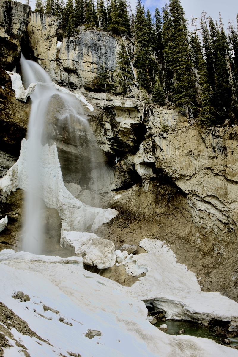
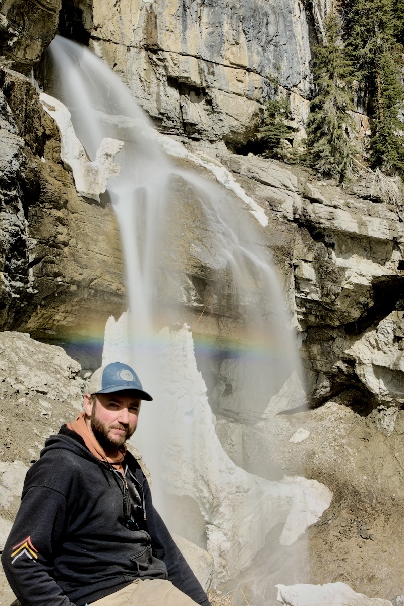
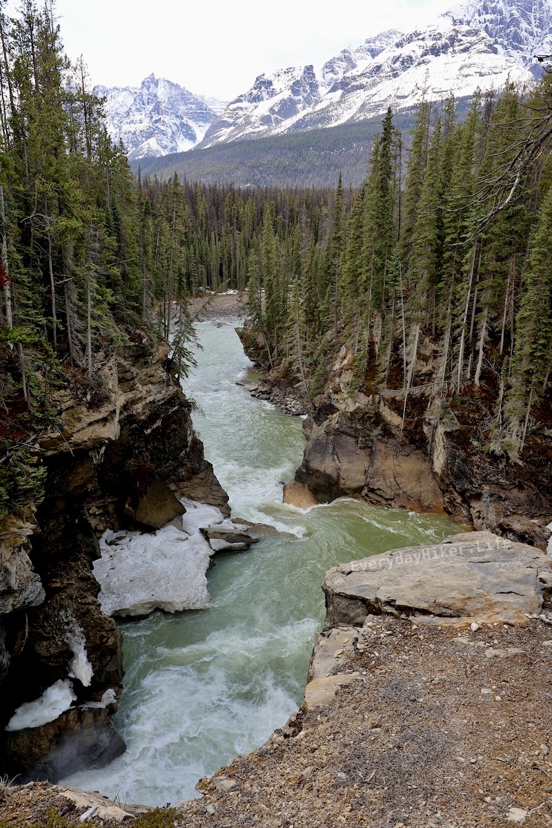
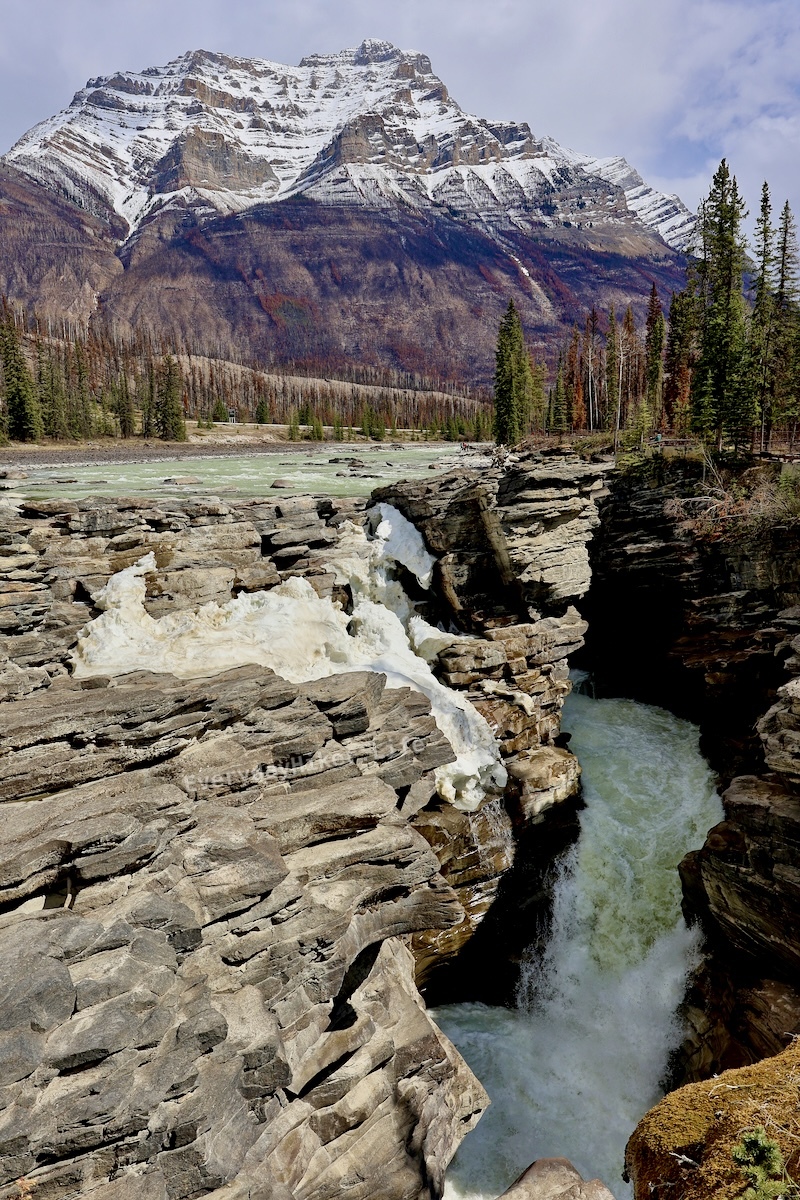 Athabasca falls rushing with Mount Kerkeslin in the background. The jagged nature of the rock here is because it is made of hard gog quartzite being sheared off as opposed to more smoothly eroded.
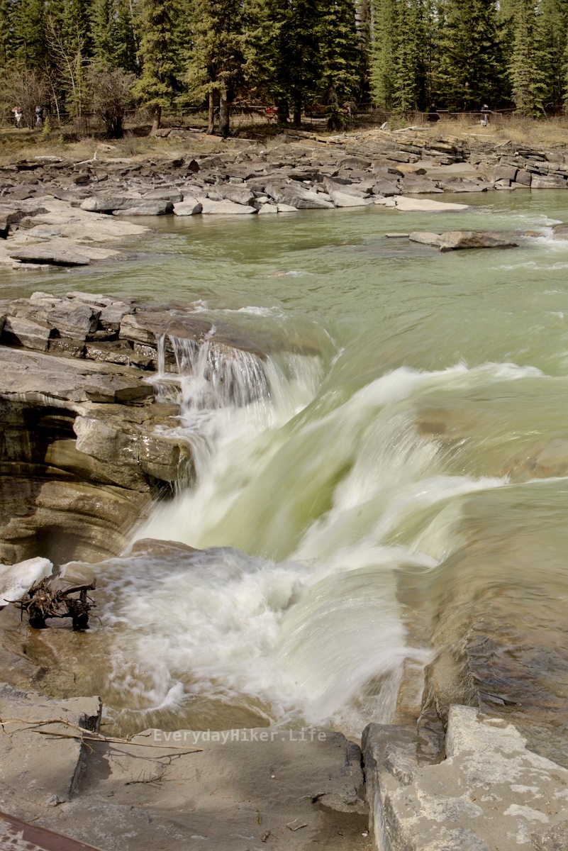 The top of Athabasca falls. While the other side is gated off, this has pretty easy access.
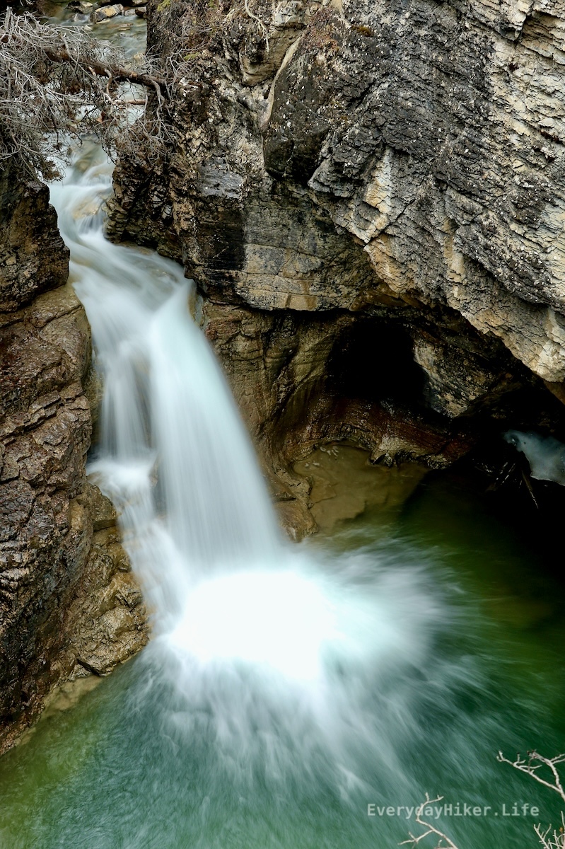
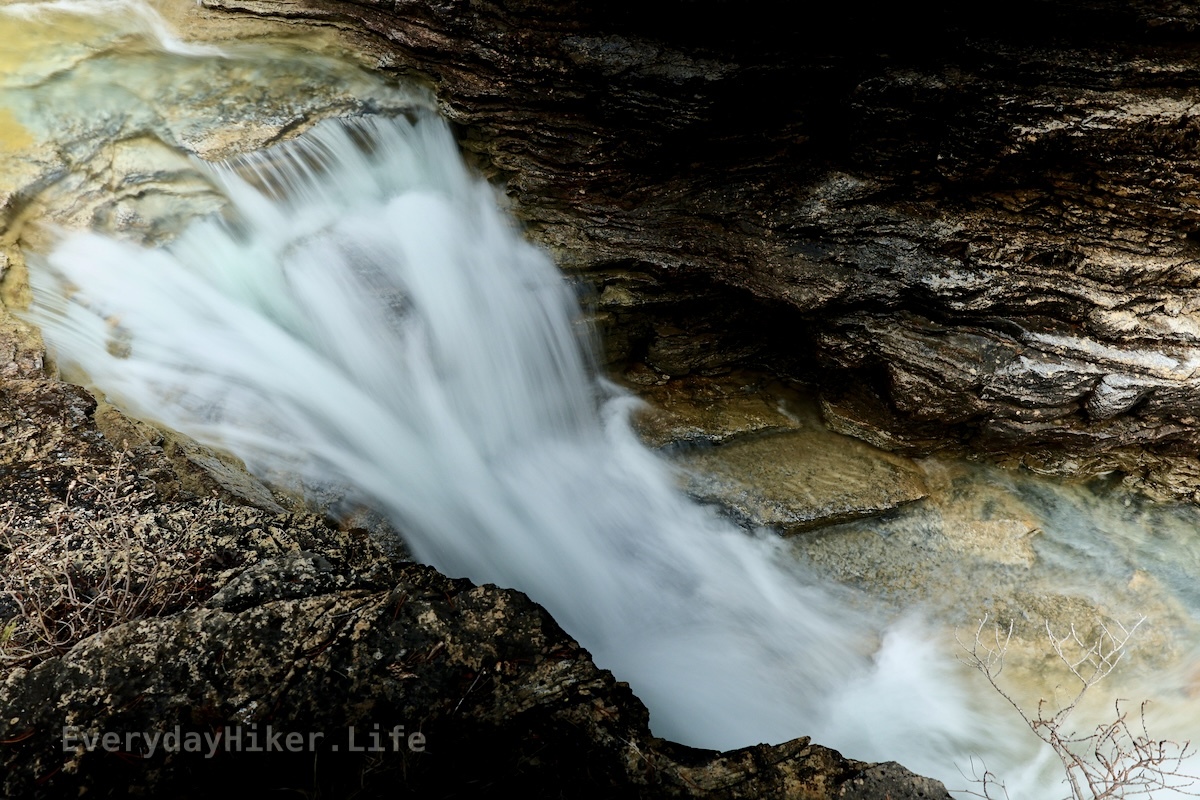
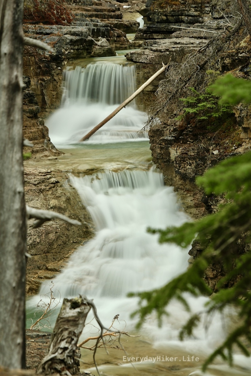
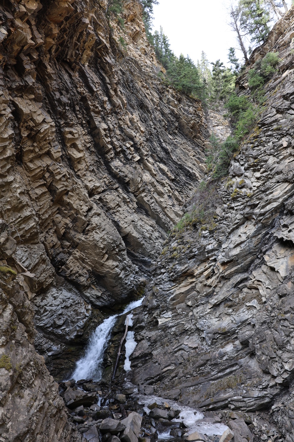
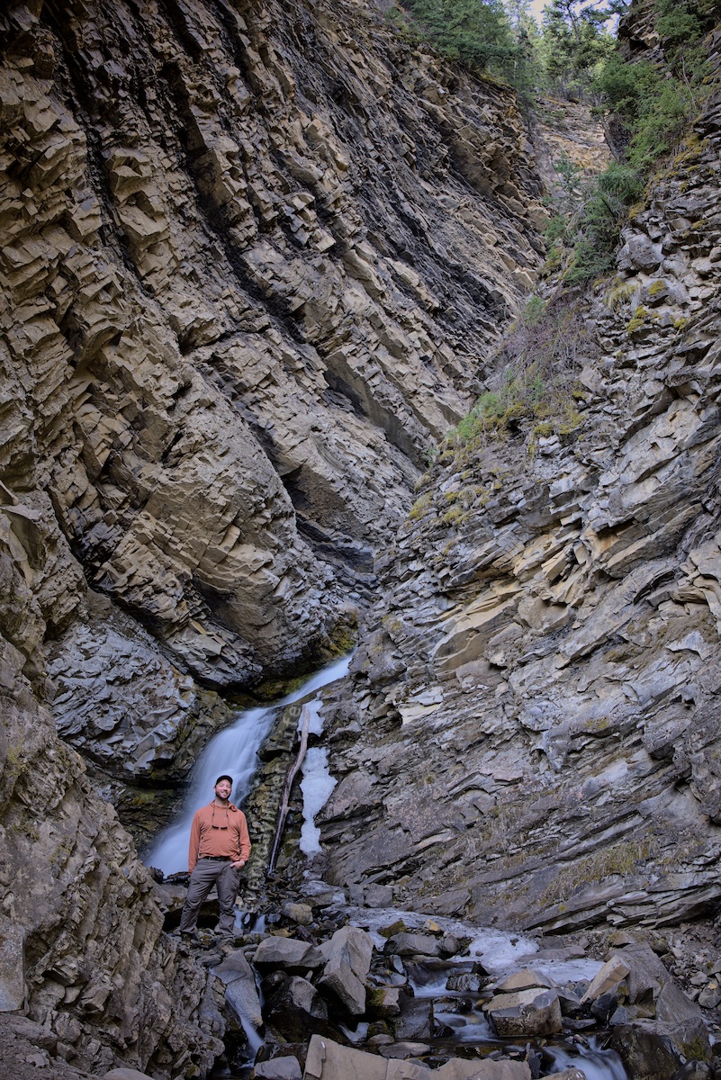
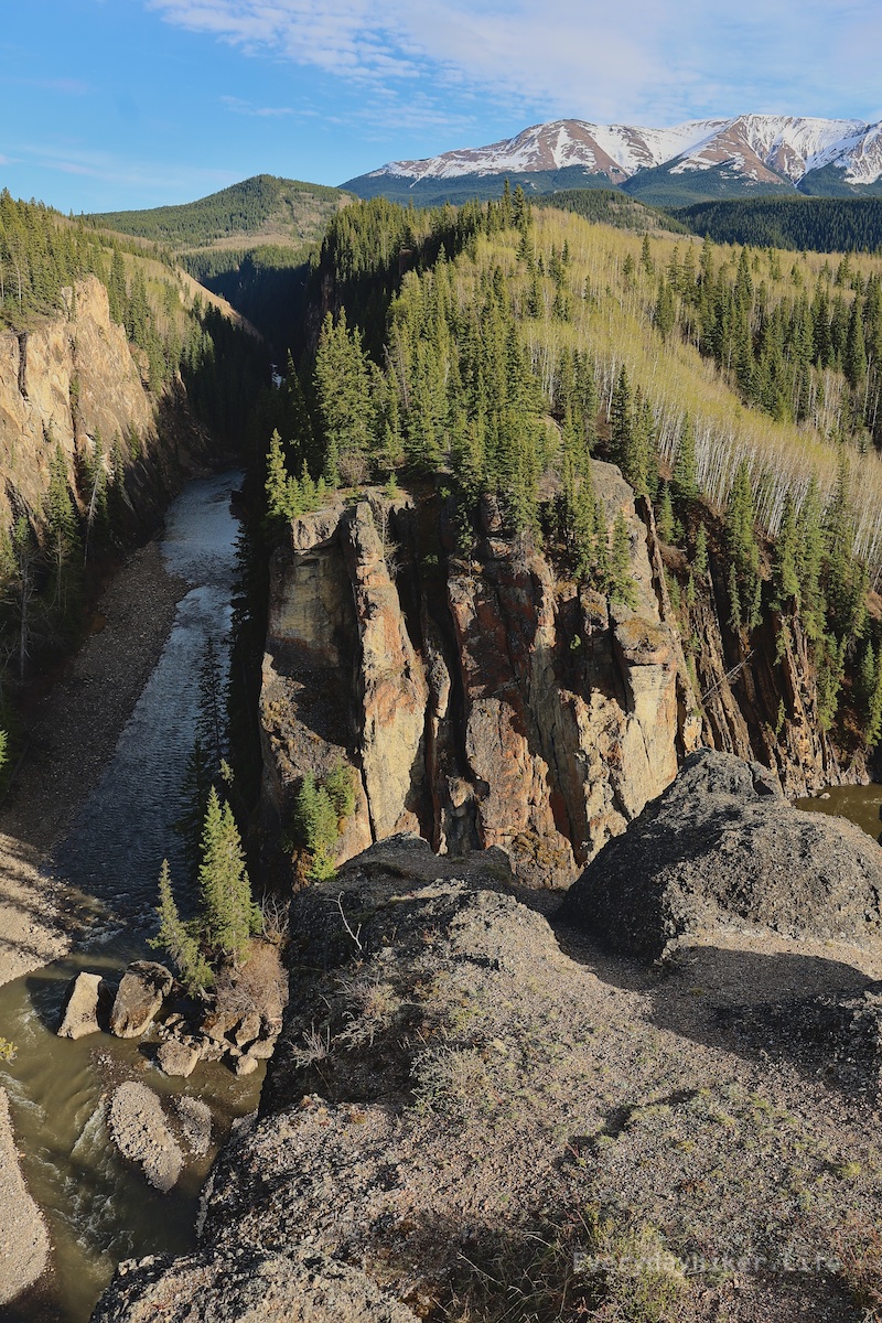
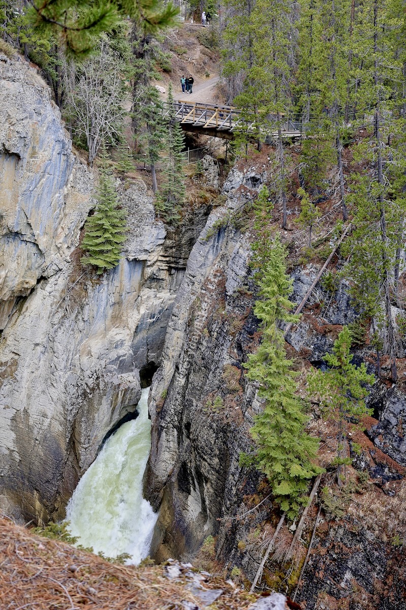
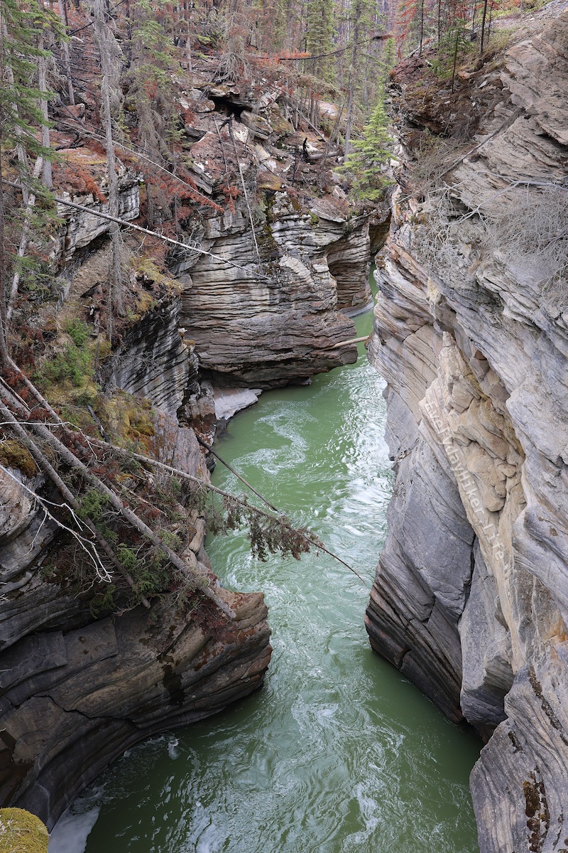 The slot canyon being formed downstream of Athabasca falls.
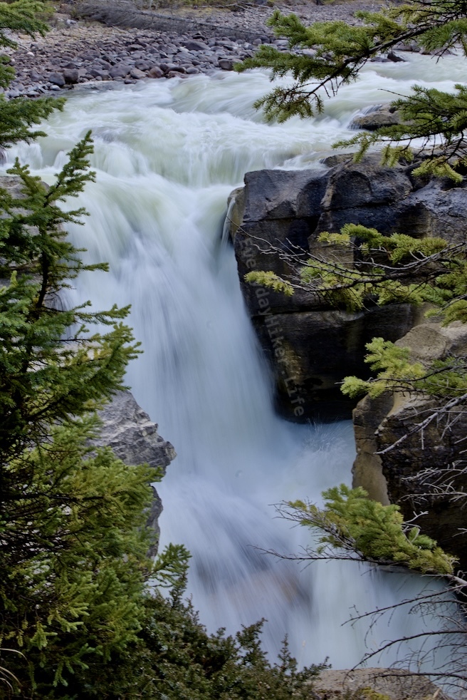
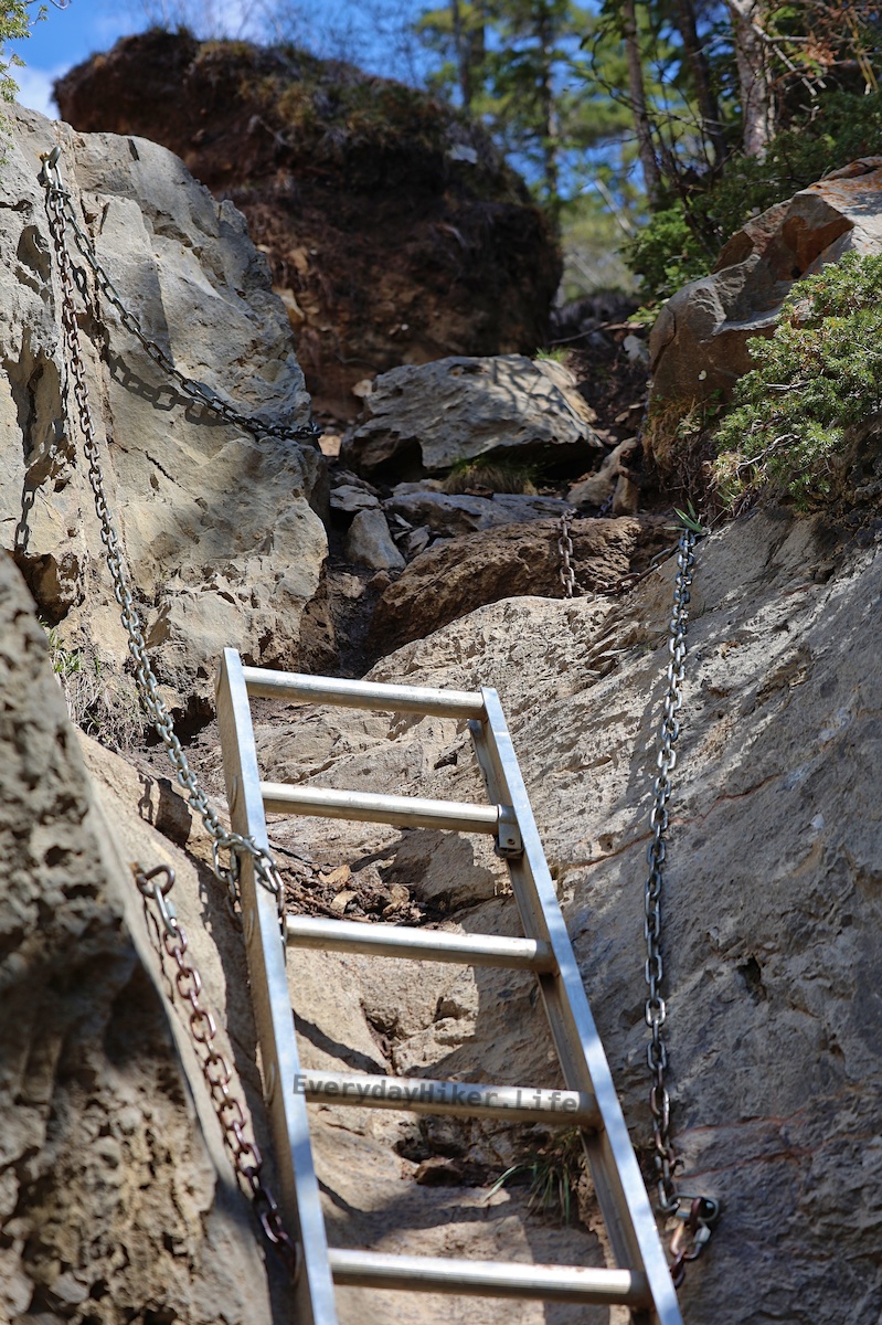
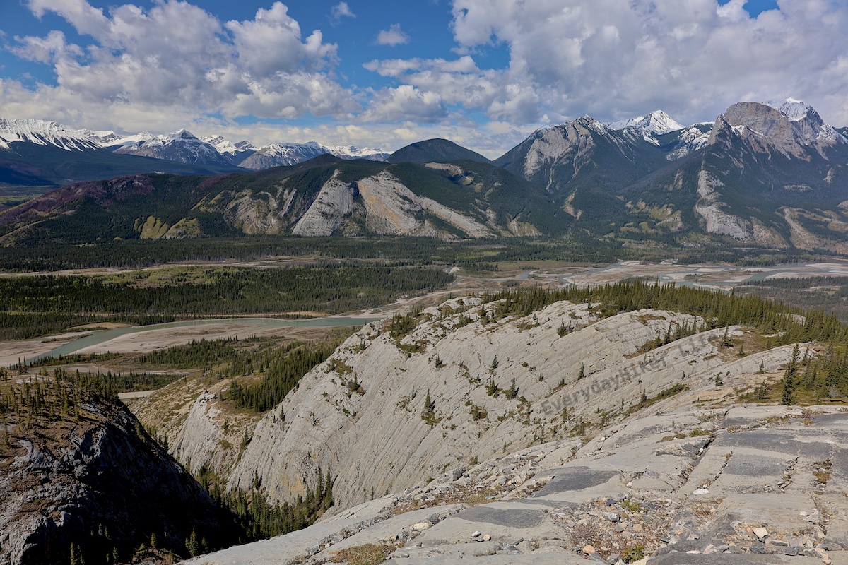
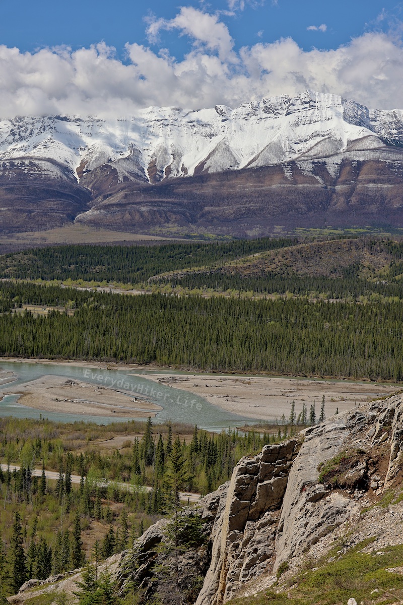
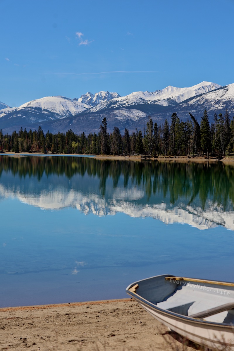
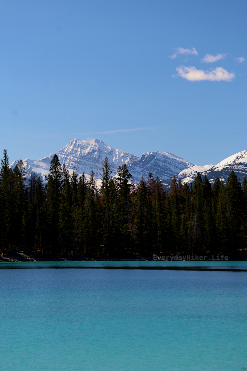
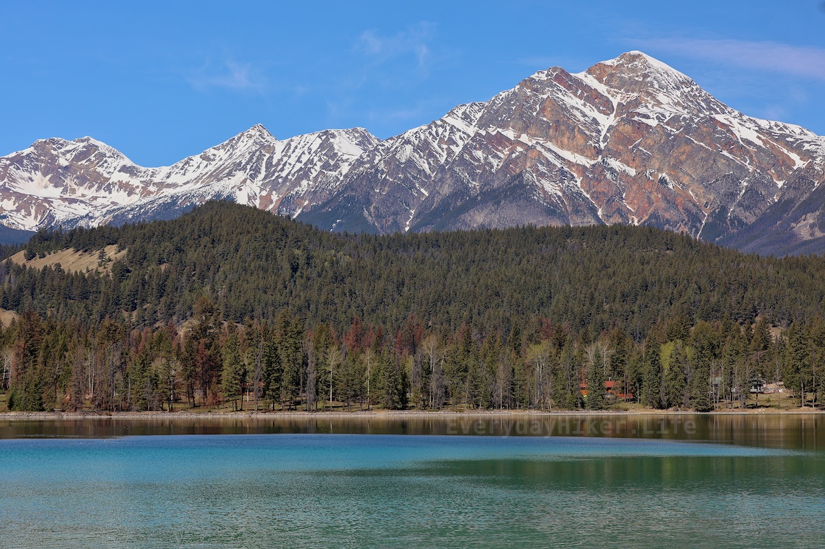
Yeah, as posted above, its in the Canadian Rockies.